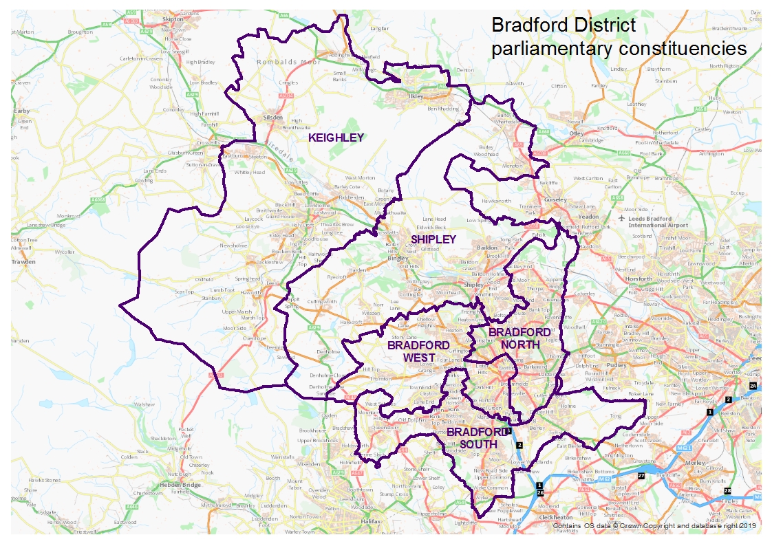
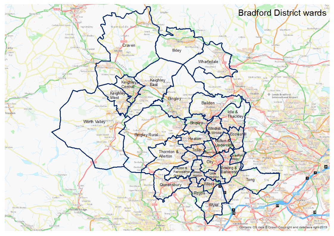
The Bradford District covers an area of approximately 370 square km and although it has one of the largest populations in the country, only one third of the District is urban. The District contains five parliamentary constituencies – Bradford East, Bradford West, Bradford South, Shipley and Keighley. There are thirty wards in the District. The District comprises a series of steep slopes dissected by the rivers Aire and Wharfe and a number of smaller rivers, including Bradford Beck and the River Worth. The valley sides are commonly very steep, in contrast to the flat nature of the valley bottoms. The main urban areas and transport routes occur within the valley floor of the District.
The main urban area comprises Bradford, Shipley and Baildon. Along the Aire Valley north west of Shipley are the towns of Bingley, Keighley and Silsden, and the civil parish of Steeton with Eastburn. To the north is Wharfedale, Ilkley and the smaller settlements of Menston, Burley in Wharfedale and Addingham. Pennine villages include Haworth and Oakworth, Harden and Cullingworth.
Bradford district’s natural open space provides an important asset in terms of the desirability of the area for living and working, along with the provision of space for sport and recreation uses. Bradford District contains a rich diversity of habitats such as a large part of the South Pennine Moors, and wildlife including many internationally, nationally and regionally notable species of flora and fauna.
The District also possesses a rich architectural and archaeological heritage associated with its industrial past, including the UNESCO world heritage site of Saltaire.
Maps of the District, wards and the parish council areas are available to download from the Maps and profiles section.


